
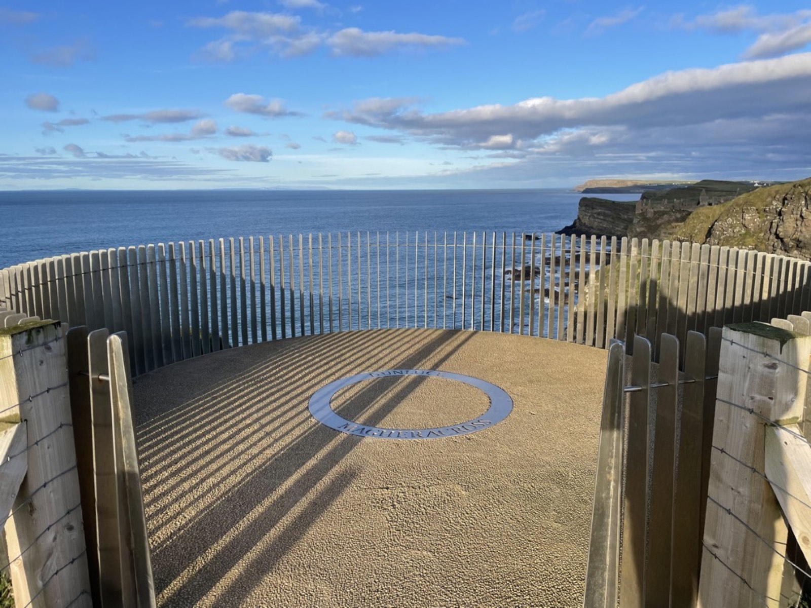
“When the world was moulded and fashioned out of formless chaos, this must have been the bit over — a remnant of chaos!”
— William Makepeace Thackeray
Thackeray’s quote describing the Giant’s Causeway isn’t far from the truth — although the original chaos was on a much larger scale, and a very, very long time ago.
The Causeway’s 40,000-plus columns are so regular they even look man-made. They’re not. The individual columns — remains of a deep lava flow — are predominantly five-sided (pentagonal) or six-sided (hexagonal), packed so tightly they form a pavement-like structure — hence “causeway.”
Of the three causeways that protrude into the North Atlantic, none of them actually continue underwater to Scotland, despite the legends. They stop quite abruptly a short distance offshore, where the sea bed is mostly sand, shell, and gravel.
How the landscape formed
Between 66 and 100 million years ago, the Cretaceous period was a time of major global tectonic change — the breakup of the supercontinents Gondwana and Laurasia, and the opening of the Atlantic Ocean.
It was during the Upper Santonian age, roughly 85 million years ago, that sea levels reached an all-time high, driven by elevated atmospheric CO2 and warmer oceans. Deposits from these warm seas include the Upper Cretaceous chalks visible all along the coast, particularly at Whiterocks Beach near Portrush.
Chalk is a very fine-grained, pure limestone made of billions of microscopic nannoplankton called coccolithophores. These marine algae bloomed in the warm oceans, and their remains settled onto the ocean floor at 100–500m depth, accumulating as a white ooze that solidified into chalk — deposits reaching hundreds of metres thick.
The chalks of the north coast are unusually refined, with less than 0.5% insoluble residues, yet notoriously hard and dense compared to other Cretaceous chalks. Close examination of the cliff faces reveals thin, crinkled lines connecting to flint nodules — caused by pressure dissolution of the limestone as overburden increased, leaving insoluble silica behind to form flint. Uplift through the late Jurassic to early Cretaceous exposed these chalks at the surface, forming the white cliffs visible today.
From chalk to basalt
Walking along Whiterocks Beach, the white cliffs are interrupted by a much darker igneous rock — a volcanic plug, the first clue to the origin of the Antrim basalts.
As the North Atlantic began to open at the end of the Cretaceous, magma erupted through the chalk, first as isolated cinder cone volcanoes. The explosive volcanism shattered the chalk in places, injecting magma blocks visible today as dark boulders within the white cliffs. Over time these vents solidified into volcanic plugs — Dunluce Castle sits on one of them.
As rifting continued, fissures opened across the crust, much like those seen in Iceland or Hawaii today, letting basaltic lava pour out over the chalk. Three successive pulses of rifting produced three distinct phases of volcanic activity — lower, middle, and upper basalts, separated by periods of calm. The Giant’s Causeway itself is made of the middle basalts, with individual flows ranging from 7 to 18 metres thick.
How the columns formed
The Causeway’s famous hexagonal pillars formed as these vast pools of lava cooled. Heat escaped upward to the atmosphere and downward into the colder country rock, with the two cooling fronts moving toward each other through the middle of the flow. As the basalt cooled, it contracted uniformly and cracked into mostly five- and six-sided columns, the cracks extending up and down perpendicular to the cooling fronts at roughly equal speeds.
In an ideal case, these cracks would meet at the centre of the flow to form continuous columns. In practice, the main Causeway lavas split into an upper colonnade, a central entablature, and a thick basal colonnade — thought to be caused by water seeping into the forming cracks, accelerating cooling and disrupting large-scale column formation in the upper and middle sections. The most striking example of this junction sits at the aptly named “Organ,” to the east of the Causeway.
Laterite and the red layer
Between lava flows, periods of inactivity let the topmost basalt weather under intense tropical conditions, forming an iron- and aluminium-rich soil called laterite. Laterite forms as the wet season leaches the parent rock, then the dry season draws the solution back to the surface, progressively removing soluble ions — sodium, potassium, calcium, magnesium — and leaving the less soluble iron and aluminium oxides behind. It’s these oxides that give the soil its characteristic brick-red colour.
Because laterite forms wherever basalt meets water — at the surface and within cracks — the weathering propagates downward and inward, leaving “cores” of unweathered basalt that resemble pillow basalt. These cycles are spectacularly visible in the amphitheatre-shaped cliffs along the coast: the iconic stepping stones of the middle basalts, a distinct red laterite layer, and the columns of the upper basalts above.
The story of the Giant’s Causeway has evolved over many centuries — from myths of giants and man-made pillars, to a proper account of the ancient volcanic ocean beneath our feet. What hasn’t changed is the impact this landscape has had on everyone who’s stood on it since we first set foot on this coast, and it’ll keep doing that for a long time yet.